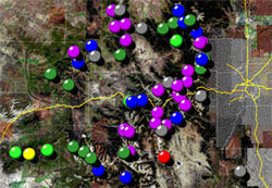
NRCS water supply forecasts in the rich 3-dimensional visual context of Google Earth.
Introducing a new high resolution interactive interface to SNOTEL snowpack and precipitation information. Opening the data layer below in the Google Earth application opens a window to the data that allows you to have a birds-eye view of the Western US, while zooming in to individual basins and stations of interest.